


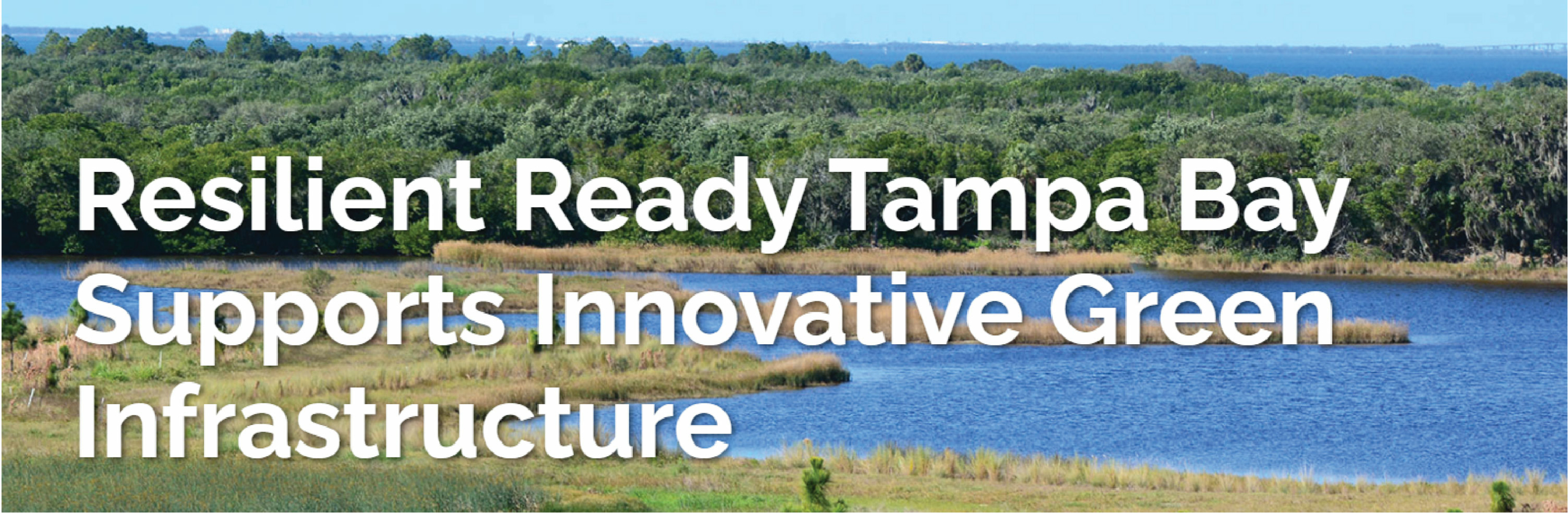
Resilient Ready Tampa Bay
Home > Resiliency > Resilient Ready Tampa Bay
Resilient Ready Tampa Bay was a regional technical assistance project that was created to enhance the capacity of Tampa Bay communities to assess, plan for, and adapt to flood impacts through the expanded use of multi-functional green infrastructure systems and resilient site design and construction practices. The Resilient Ready team worked with three local governments to provide technical analyses and design services for their flood-prone study areas. These three case studies exemplify the flood challenges and design opportunities faced by other local governments throughout the Tampa Bay Region, and their adaptation solutions will be translated into regional resources freely available to the Resiliency Coalition members.
The Resilient Ready project is coordinated by the Tampa Bay Regional Planning Council and made possible by the Florida Department of Environmental Protection’s Resilient Florida Coastlines Program.
This work was funded in part through a grant agreement from the Florida Department of Environmental Protection, Resilient Florida Program, by a grant provided by the Office of Resilience and Coastal Protection. The views, statements, findings, conclusions and recommendations expressed herein are those of the author(s) and do not necessarily reflect the views of the State of Florida or any of its subagencies.
Read FDEM's article on Resilient Ready
Staff Contacts
Sarah Vitale, AICP
Planning Director
(727) 570-5151 ext. 27

Alana Todd
Senior Environmental Planner
(727) 570-5151 ext. 40
![]()
Summary Report | July 2022
Photo Gallery
News Articles


Project Background
charrette shəˈret : A charrette is an intensive, multi-disciplinary workshop with the aim of developing a design for a project or planning activity. This participatory planning session provides a forum for citizens, designers, and other stakeholders to share ideas and collaborate on a collective vision for a community site or plan.
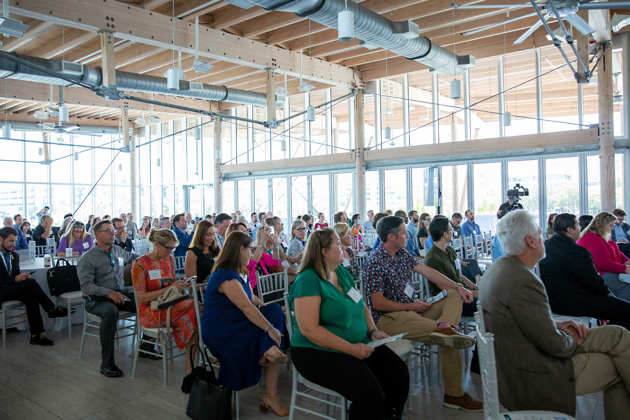
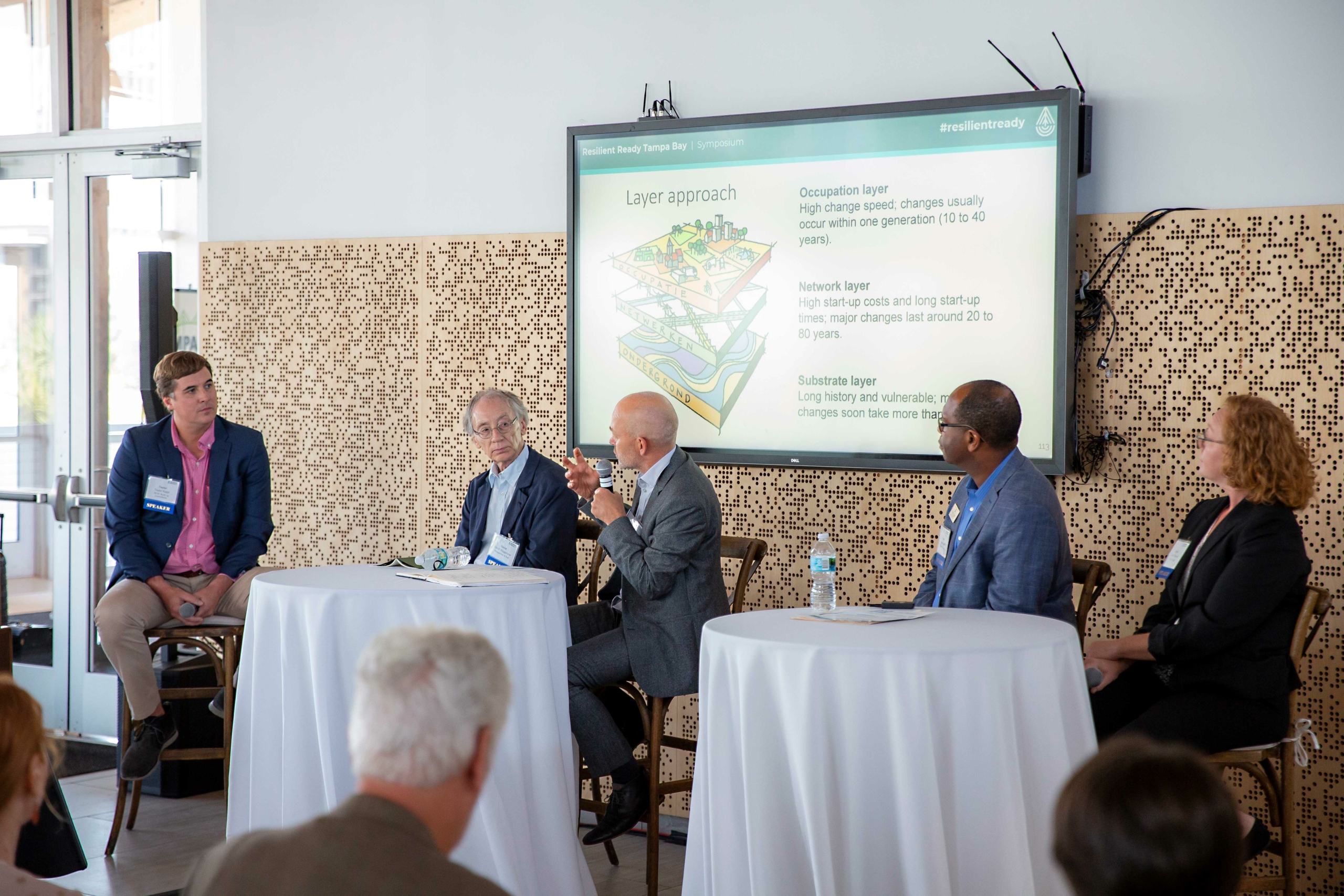
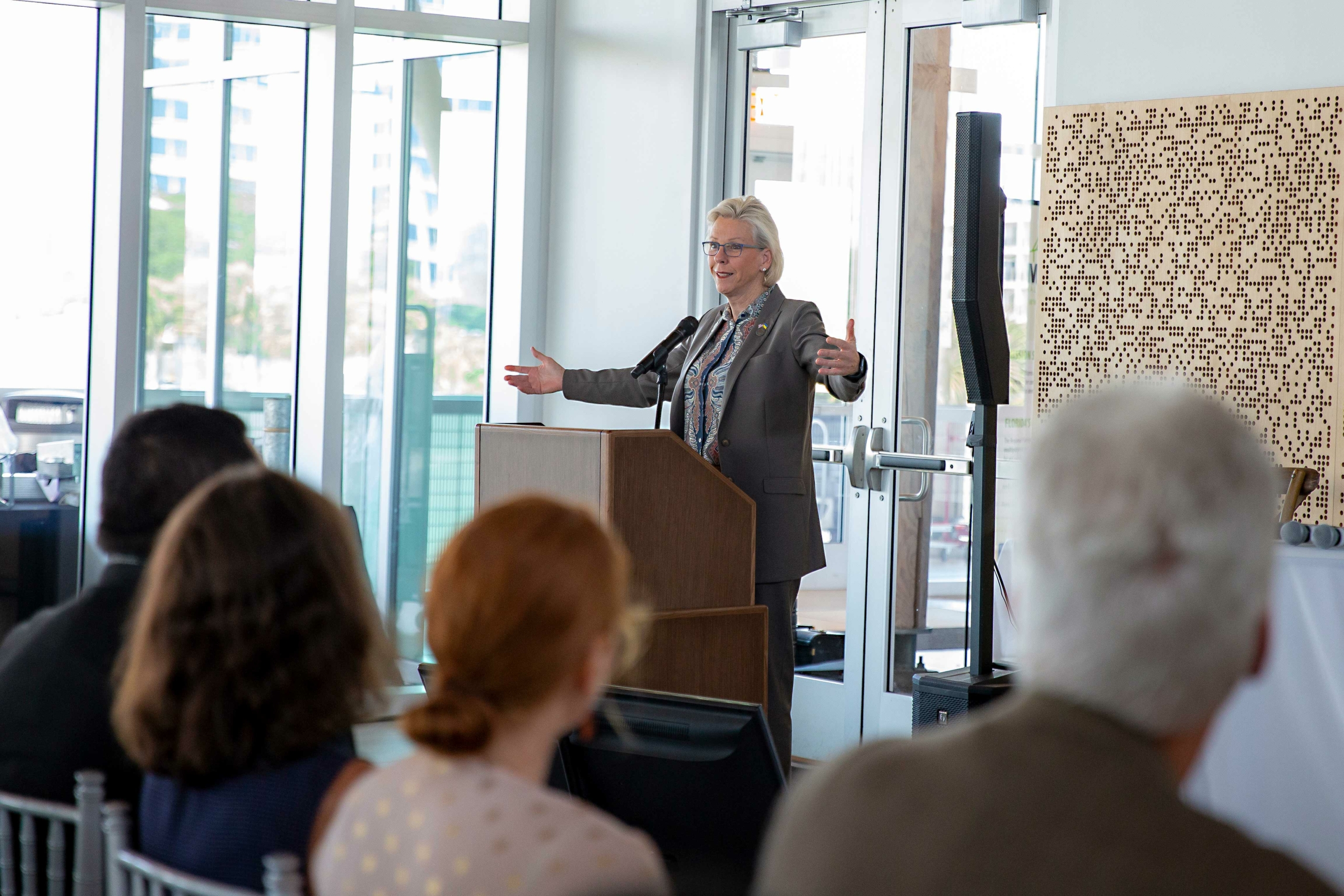
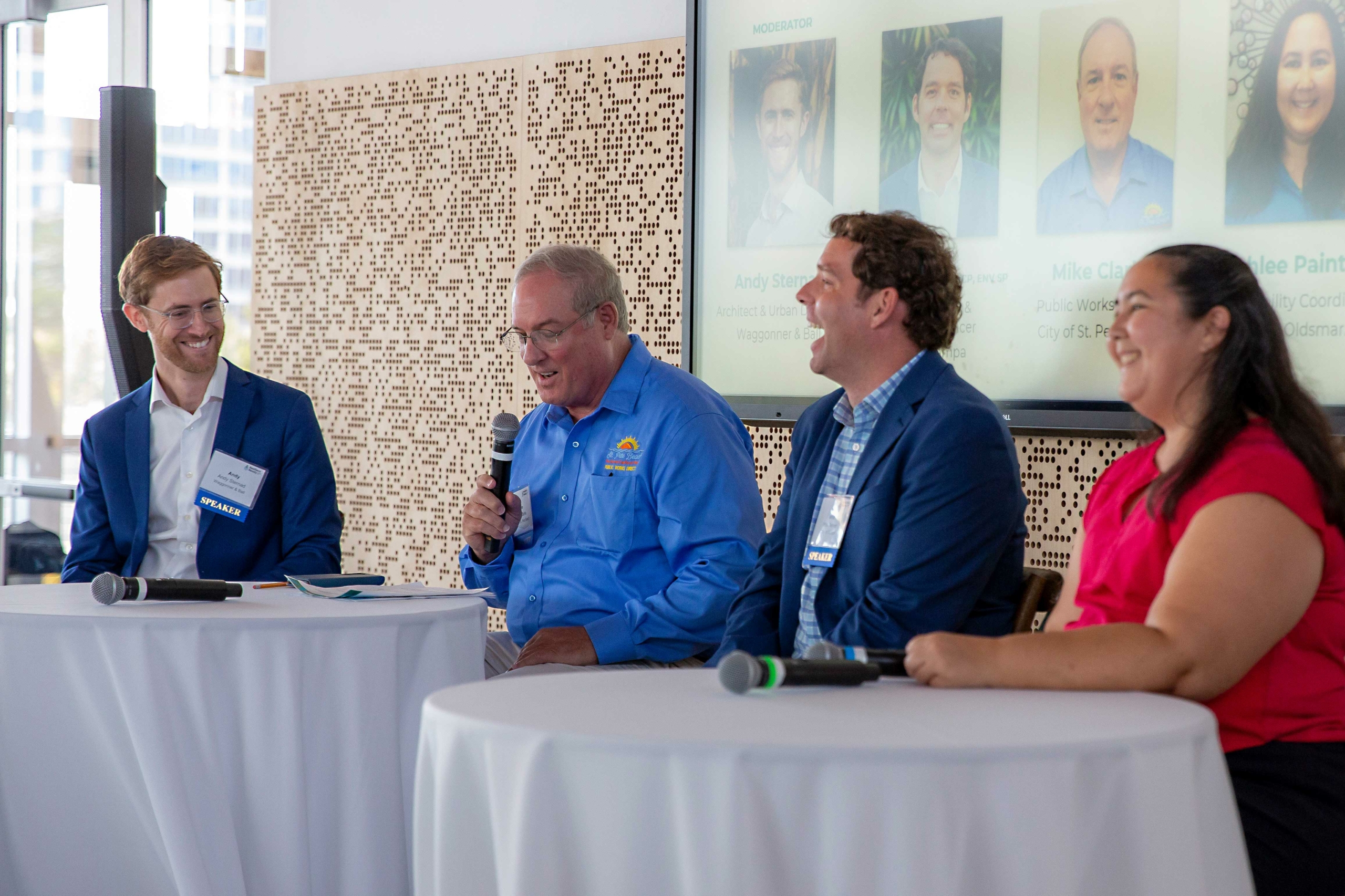
The Resilient Ready Tampa Bay project team hosted a three-day charrette for each of the three local government study sites in late April. The charrettes convened a team of multidisciplinary professionals, such as planners, urban designers, landscape architects, engineers, and hydrologists, along with municipal staff and other local stakeholders. Each charrette included a site visit day and two hands-on design session days to better understand the current and future threats and to create physical and planning adaptations for the site. Charrette participants developed implementation-ready flood mitigation designs and cost-benefit information that can be used for State and Federal grants. At the conclusion of the project, local government participants and subject matter experts convened for a half-day symposium event in June.
Timeline
Resilient Ready Sites


